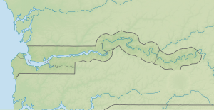
Dankunku Island
| Dankunku Island | ||
|---|---|---|
|
NASA World Wind satellite image The Gambia flows here in the image section in a southerly direction. |
||
| Waters | Gambia (river) | |
| Geographical location | 13 ° 33'53 " N , 15 ° 22'7" W | |
|
|
||
| length | 5 km | |
| width | 490 m | |
| Residents | uninhabited | |
Dankunku Island (also Sea Horse Island ) is an inland island of the Gambia River in the West African state of Gambia .
geography
The approximately five kilometers long, but only a maximum of 490 meters wide uninhabited island is located around 178 kilometers upstream from Banjul . The Gambia narrows here to a width of about 590 meters and here has a depth of nine meters. Behind the island is a canal about 80 meters narrow.
See also
literature
- Stephen C. Stringall, Dody Broyles: Gambia. International Travel Maps, Vancouver 2003, ISBN 1-55341-217-6 (map, 96 × 61 cm, 1: 350,000).

