
Deima
|
Deima Дейма, Deime |
||
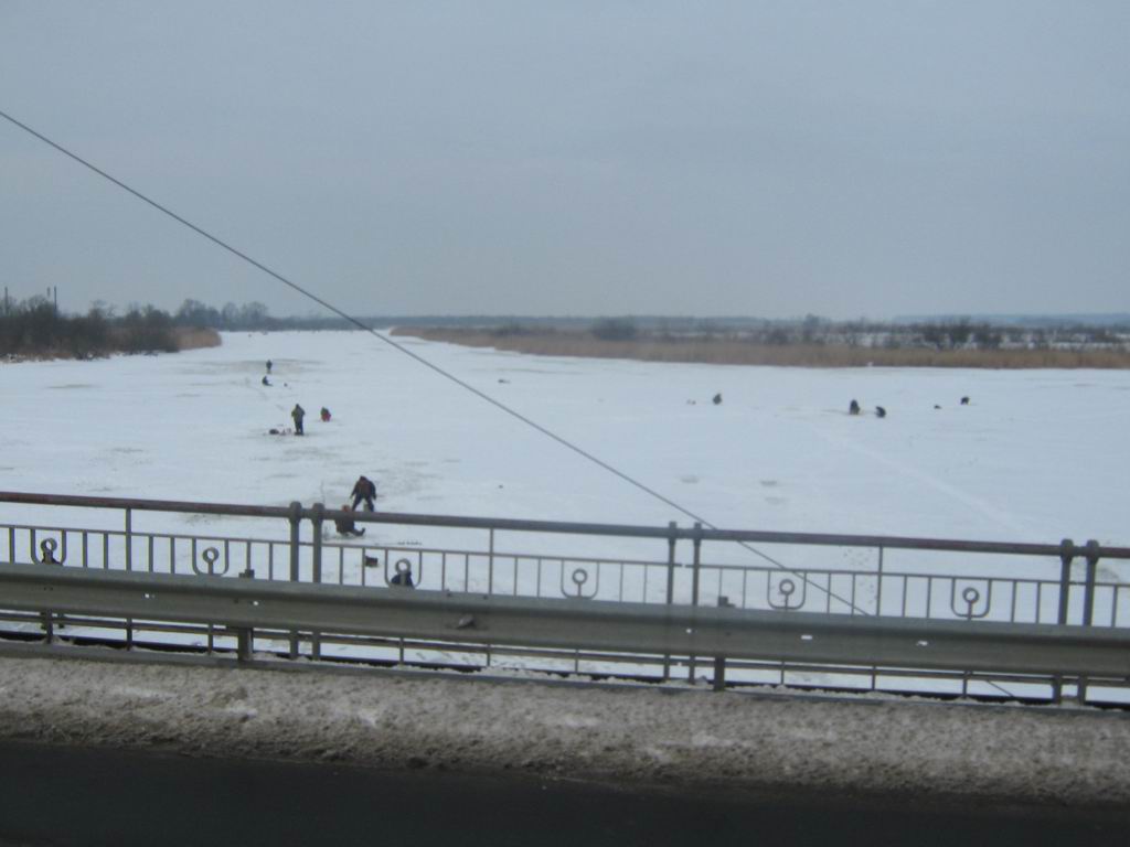
 The Deime in Polessk (Labiau) |
||
| Data | ||
| Water code | RU : 01010000312004300009882 | |
| location | Kaliningrad Oblast ( Russia ) | |
| River system | Pregel | |
| origin | Junction from Pregel in Gwardeisk (Tapiau) 54 ° 38 ′ 46 ″ N , 21 ° 4 ′ 11 ″ E |
|
| muzzle | north of Polessk (Labiau) in the Curonian Lagoon Coordinates: 54 ° 53 ′ 36 " N , 21 ° 5 ′ 22" E 54 ° 53 ′ 36 " N , 21 ° 5 ′ 22" E
|
|
| length | 37 km | |
The Deima ( Russian Дейма , German Deime , Lithuanian Deimena ) is a 37 km long river in the Russian exclave of Kaliningrad . It branches off from the Pregel near Gwardeisk (Tapiau) , flows from there to Polessk (Labiau) and flows into the Curonian Lagoon . The name of the river goes back to the Indo-European root * dei , which means "to flow continuously forward".
Shortly before the confluence with the Haff, the Polesski kanal (Großer Friedrichsgraben) branches off in Polessk , connecting the Deime with the Nemonin (Nemonien) . This is connected to the Matrossowka (Gilgestrom) , a left arm of the Memel , via the Primorski Canal (Seckenburg Canal) .
literature
- Biolik, Maria: The names of the flowing waters in the Pregel river basin. Steiner, Stuttgart 1996. (Hydronymia Europaea; Lfg. 11)
- Peteraitis, Vilius: Mažoji Lietuva ir Tvanksta (Lithuania Minor and Tvanksta) Vilnius 1992