Dietschiberg
| Dietschiberg | ||
|---|---|---|
| height | 684 m above sea level M. | |
| location | Canton of Lucerne , Switzerland | |
| Dominance | 2.5 km → Dotteberg | |
| Notch height | 134 m ↓ Widsbüel | |
| Coordinates | 668 569 / 213 093 | |
|
|
||
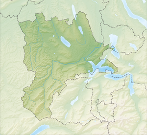
The Dietschiberg is located on the northeastern edge of the city of Lucerne (Switzerland). The summit Hombrig is at an altitude of 684 m above sea level. M.
Agriculture / Tourism
The Dietschiberg is a partially forested hill with agricultural use.
It is also a very popular local recreation area with many walking and hiking trails. Biking on the trails is also very popular. There is also a golf club and an excursion restaurant on the hill.
In the past (until 1978) the Dietschibergbahn (DBB), a funicular , ran up the hill. This is no longer in operation.
An open-air model railway was bought by the local golf club and first downsized and later shut down.
swell
- Dietschiberg on GeoFinder.ch
- Swiss Confederation

