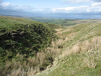
Dry burn
|
Dry Burn also Dry Burn Cleugh in the upper reaches |
||
|
The Dry Burn Cleugh |
||
| Data | ||
| location | Northumberland , England | |
| River system | Tyne (England) | |
| Drain over | River West Allen → River Allen → South Tyne → Tyne → North Sea | |
| River basin district | Northumbria | |
| source | west of Sinderhope 54 ° 51 ′ 32 " N , 2 ° 18 ′ 29" W |
|
| muzzle | in the River West Allen coordinates: 54 ° 52 ′ 46 " N , 2 ° 20 ′ 35" W 54 ° 52 ′ 46 " N , 2 ° 20 ′ 35" W.
|
|
The Dry Burn is a watercourse in Northumberland , England . It arises west of Sinderhope and flows north to its confluence with the River West Allen north of Ninebanks .
