Dry tortugas
| Dry tortugas | ||
|---|---|---|
| NASA image of the Florida Keys, the Dry Tortugas at the far western end | ||
| Waters | Gulf of Mexico | |
| archipelago | Florida Keys | |
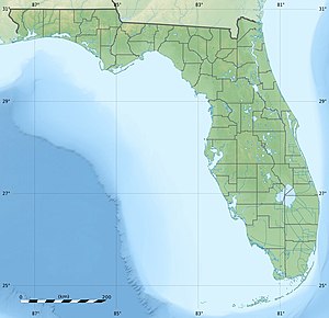
| Geographical location | 24 ° 38 ′ N , 82 ° 52 ′ W | |
|
|
||
| Number of islands | 7th | |
| Main island | Garden Key | |
| Total land area | 0.584 km² | |
| Residents | uninhabited | |
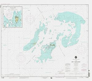
| Nautical map of the Dry Tortugas | ||
The Dry Tortugas are an uninhabited group of islands belonging to Florida in the Gulf of Mexico . They represent the outermost, westernmost group of the Florida Keys .
The islands were discovered in 1513 by Juan Ponce de León , who gave them the name "Tortugas" after the numerous sea turtles observed there. The surname "Dry" was added later to indicate the lack of drinking water.
The Dry Tortugas consist of seven small islands ( keys ) with a total area of 584,000 m² (0.584 km²), some sandbars and countless coral reefs .
The islands are:
- Loggerhead Key , with 260,000 m² largest and with up to 3 m height highest island. The Dry Tortugas Lighthouse (46 meters high) stands on it.
- Garden Key , 170,000 m² second largest island, with Fort Jefferson and the Garden Key Lighthouse (20 meters high).
- Bush Key , 120,000 m²
- Long Key , 8,000 m²
- Hospital Key , 4,000 m²
- Middle Key , 6,000 m²
- East Key , 16,000 square feet
Former islands, now sandbanks, are:
- Southwest Key , sunk in 1875
- Bird Key , sunk in 1935
- North Key , sunk in 1875
- Northeast Key , sunk in 1875
The archipelago has been under nature protection since 1908 and was elevated to the Dry Tortugas National Park together with the surrounding waters in 1992 .
Web links
Commons : Dry Tortugas - Collection of images, videos and audio files


