Eldridge Bluff
| Eldridge Bluff | ||
|---|---|---|
| location | Victoria Land , East Antarctica | |
| part of | Southern Cross Mountains in the Transantarctic Mountains | |
|
|
||
| Coordinates | 73 ° 27 ′ S , 164 ° 48 ′ E | |
|
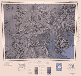
Topographic map with Eldridge Bluff (center right) |
||
The Eldridge Bluff is a striking and 8 km long rocky cliff in East Antarctic Victoria Land . South of the confluence with the Cosmonaut Glacier, it forms part of the western wall of the Aviator Glacier .
The United States Geological Survey mapped the cliff using its own surveys and aerial photographs of the United States Navy from 1960 to 1964. The Advisory Committee on Antarctic Names named it in 1969 after Lieutenant Commander David B. Eldridge Jr. (1932-2016), senior Officer of the delegation of the VX-6 flight squadron that wintered at McMurdo Station in 1967 .
Web links
- Eldridge Bluff in the Geographic Names Information System of the United States Geological Survey (English)
- Eldridge Bluff on geographic.org (English)
Individual evidence
- ↑ Capt. David B. Eldridge Jr. obituary in: The Portland Press Herald, August 28, 2016 (accessed August 24, 2017).

