
Falealili
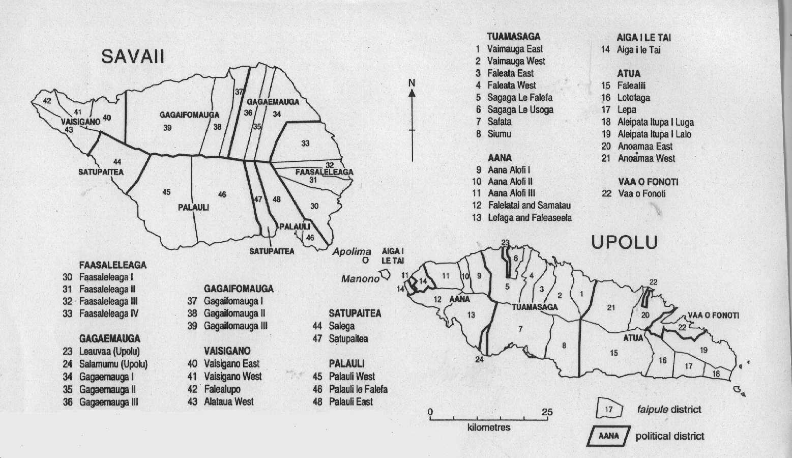
Falealili is a village ( Faipule district) and an electoral district in Samoa with 13 villages. On average between 500 and 1000 people live in these villages. Falealili belongs to the Atua political district in the southeast of Upolu Island . According to an entry in Brockhaus from 1911, it was a port and at the time probably the largest place on the island.
history
In the German Colonial Lexicon of 1920 it says about Falealili: “ Politically almost always adhered to the Malietoa , of whom M. Ganasavea bestowed the title Tui samoa , which is awarded in Sàga. Sàga alone consists of several small parts of the village; there are also 5 large parts of the village. An isolated reef with a coral island on it creates a good anchorage for smaller ships at Sàga. The Salani part of the village is famous as the home of the king (Tupua), where Salamasina (note: a queen known in Samoa) also lived .... “In addition, a mission station of the London Society in Logologo has been established there.
The German warship SMS Ariadne occupied the port and place (as well as Saluafata on the northeast coast of the island of Upolu ) on July 16, 1878 for the German Empire . In January 1879 the occupation was ended again by the conclusion of a "friendship treaty" with the local rulers. This began the German involvement in colonial conflicts with the USA, which in the case of Samoa in 1899 led to the division of the island group between the two colonial powers.
In 1913 the "South Upolu Government Station" of the German colonial rule was set up in Falealili for the local administration of the south of Upolu Island.
economy
In Falealili there is mainly agriculture and fishing, but there is also a holiday club (“Salani Surf Resort”) and the OleʻPupupue National Park near the Togitogiga waterfall. Opposite the village of Poutasi is the uninhabited island of Nuʻusafeʻe .
Individual evidence
- ^ Map of the Samoan constituencies
- ↑ http://www.zeno.org/Brockhaus-1911/A/Falealili
- ↑ http://www.ub.bildarchiv-dkg.uni-frankfurt.de/Bildprojekt/Lexikon/php/suche_db.php?suchname=Falealili
- ↑ Hermann Joseph Hiery: The German South Seas 1884-1914 . Verlag Ferdinand Schöningh, Paderborn 2001, p. 2
- ↑ Joachim Schultz-Naumann, Under Emperor's Flag: Germany's Protected Areas in the Pacific and China Then and Now, Universitas, Munich, 1985, ISBN 3-8004-1094-X , p. 161.
Coordinates: 14 ° 0 ′ 0 ″ S , 171 ° 45 ′ 0 ″ W.