Fish Lake (Utah)
| Fish Lake | ||
|---|---|---|

|
||
| Widgeon Bay on Fish Lake | ||
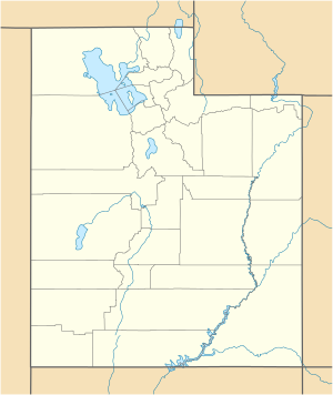
| Geographical location | Sevier County , Utah , USA | |
| Tributaries | Anderson Creek, Twin Creek, Bowery Creek | |
| Drain | Lake Creek → Fremont River | |
| Places on the shore | Bowery Resort | |
| Data | ||
| Coordinates | 38 ° 32 '53 " N , 111 ° 42' 35" W | |
|
|
||
| Altitude above sea level | 2697 m | |
| length | 8 kilometers | |
Fish Lake is a high alpine mountain lake with its highest point at about 2700 m on the Southern Wasatch Plateau in central Utah , USA. The lake is located near the Fishlake National Forest and gives it its name.
Individual evidence
- ↑ Fish Lake (Utah) in the Geographic Names Information System of the United States Geological Survey , accessed April 25, 2016
- ↑ estimated from OpenStreetMap map
Web links
Commons : Fish Lake - collection of pictures, videos and audio files

Bowery Resort on Fish Lake
