Bapaume-Grévillers airfield
| Aèrodrome de Bapaume-Grévillers | ||
|---|---|---|
|
|
||
| Characteristics | ||
| Coordinates | ||
| Transport links | ||
| Distance from the city center | 4 km west of Bapaume | |
| Street | today's D 29 D 163 | |
| Basic data | ||
| opening | 1940 | |
| closure | 1944 | |
| operator | air force | |
| Runways | ||
| 01/19 | 1500 m × 80 m concrete | |
| 10/28 | 1200 m × 45 m concrete | |
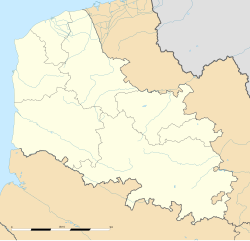
The Aèrodrome de Bapaume-Grévillers , occasionally Aérodrome de Irles-Grévillers , was a military airfield in France during World War II . It was located in what is now the Hauts-de-France region in the Pas-de-Calais department, mainly in the municipality of Grévillers, about one and a half kilometers west of the center and partly in the area of Irles in the Somme department .
history
The airfield was built in early 1940 on land that had been requisitioned by the French government for use by the British Expeditionary Forces .
After the occupation of France as a result of the western campaign of the German Wehrmacht , the area was expanded into an airfield for the Luftwaffe with, among other things, two concrete runways and various taxiways.
During the Battle of Britain was home to the " air base Bapaume," the term of his German name, to March 1941, from October 1940 III. Group of Kampfgeschwaders 1 (III./KG 1) with their Ju 88A .
After the end of the war, until the 1950s, consideration was given to preserving at least part of the site and the runways for general aviation . Due to the proximity of the Cambrai-Épinoy military airfield , however, it was decided in 1956 not to pursue these plans any further. Some remains of the slopes still exist today.
