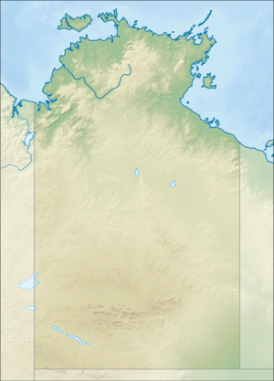
Foelsche crater

Coordinates: 16 ° 40 ′ 12 ″ S , 136 ° 46 ′ 48 ″ E
Foelsche is a heavily eroded and largely buried impact crater in northern Australia . The structure is located in the Northern Territory and is named for the nearby Foelsche River . Only a little of the former crater is visible on the earth's surface and the circular shape cannot be recognized. Images made by flying magnetometers over it showed the circular structure and led to the discovery of the crater. The impact took place in the flat, here magnetic sedimentary rock of the McArthur Basinthat broke through, creating the magnetic anomaly. Deformed sandstones and breccias are located in the northern area and are remnants of the crater rim , which was originally about 6 km in diameter. Evidence for the origin of the impact of the structure is provided by shocked quartz crystals that eroded from the crater floor and now fill the crater as sedimentary rock. The impact occurred more than 545 million years ago.
swell
- Impact structures of the world Database by Jarmo Molianen.Retrieved October 13, 2010
- Earth Impact Database. Retrieved October 7, 2013
- Haines PW, Rawlings DJ (2002) The Foelsche structure, Northern Territory, Australia: an impact crater of probable Neoproterozoic age. Meteoritics and Planetary Science 37: 269-280. doi : 10.1111 / j.1945-5100.2002.tb01109.x
