Gerrish Peaks
| Gerrish Peaks | ||
|---|---|---|
|
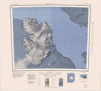
Map of the Bear Peninsula with the Gerrish Peaks |
||
| location | Marie Byrd Land , West Antarctica | |
|
|
||
| Coordinates | 74 ° 40 ′ S , 111 ° 42 ′ W | |
The Gerrish Peaks are a series of eroded mountain peaks on the Walgreen Coast of Marie Byrd Land in West Antarctica . They loom 6 km southeast of Hunt Bluff on the west side of the Bear Peninsula .
The first aerial photographs were taken in January 1947 during the US Operation Highjump (1946–1947). The Advisory Committee on Antarctic Names named it in 1967 after Samuel D. Gerrish, an ionospheric physicist at Byrd Station in 1966.
Web links
- Gerrish peaks in the Geographic Names Information System of the United States Geological Survey (English)
- Gerrish Peaks on geographic.org (English)

