Getchell Lake
| Getchell Lake | ||
|---|---|---|
| Geographical location | Stearns County , Minnesota , USA | |
| Tributaries | Getchell Creek | |
| Drain | Getchell Creek → Sauk River → Mississippi River | |
| Location close to the shore | New Munich | |
| Data | ||
| Coordinates | 45 ° 35 '57 " N , 94 ° 40' 58" W | |
|
|
||
| Altitude above sea level | 358 m | |
| surface | 28 ha | |
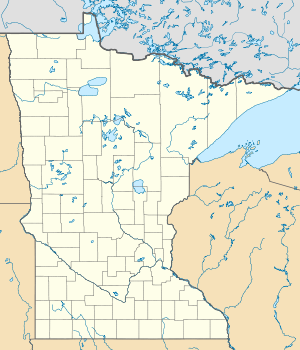
The Getchell Lake (also known as Gatchell Lake called) is a lake in Stearns County in the US state of Minnesota . It is located 6.5 kilometers southeast of New Munich and 1.5 kilometers west of County Road 11 in a moorland area . Getchell Creek is the inflow and outflow . Its area is approximately 28 hectares (69 acres ), the height above sea level 358 meters. 2.5 kilometers east of Getchell Lake is the larger Sand Lake .
Individual evidence
- ^ US Geological Survey. Geographic Names Phase I data compilation (1976-1981). 31-Dec-1981. Primarily from US Geological Survey 1: 24,000-scale topographic maps (or 1: 25K, Puerto Rico 1: 20K) and from US Board on Geographic Names files. In some instances, from 1: 62,500 scale or 1: 250,000 scale maps
- ↑ Creeks & Lakes (Stearns County) (PDF file (map); 1.6 MB)
- ↑ Getchell Lake in the United States Geological Survey's Geographic Names Information System
- ↑ Getchell Lake - Stearns County Minnesota - LakePlace.com
