Gołdap (lake)
| Gołdap | ||
|---|---|---|

|
||
| Geographical location | Rominter Heath | |
| Tributaries | Jarka (Upper Goldap) | |
| Drain | Gołdapa | |
| Islands | 8th | |
| Location close to the shore | Gołdap | |
| Data | ||
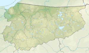
| Coordinates | 54 ° 20 ′ 0 ″ N , 22 ° 20 ′ 0 ″ E | |
|
|
||
| Altitude above sea level | 150 m npm | |
| surface | 1.4 km² | |
| Maximum depth | 10.6 m | |
| Middle deep | 5.6 m | |
|
particularities |
Divided between Russia and Poland |
|
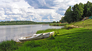
The Gołdap ( German Goldaper See ) is located in the southwest of the Rominter Heide on the border between Poland and Russia. The northern part of the lake is located in Russia and is called Osero Krasnoje (Russian: Озеро Красное ) or Red Lake.
The lake has an area of 149 hectares, is at an altitude of 150 m above sea level and the maximum depth is 10.9 m, with an average depth of 5.6 m. The volume of the lake is estimated at 8.3453 million m³. The maximum length is 2930 m, the width up to 880 m; the periphery is 7600 m.
literature
- Maria Biolik: Hydronymia Europaea, The names of the standing waters in the Pregel tributary area and in the catchment area of the tributaries to the Baltic Sea between Pregel and Memel , Stuttgart 1993
Web links
Commons : Goldaper See - collection of images, videos and audio files

