Goblin Col
| Goblin Col ( mountain saddle ) |
|||
|---|---|---|---|
| Compass direction | Northwest | southeast | |
| Livingston Island , South Shetland Islands | |||
| Mountains | Lucifer Crags | ||
| map | |||
|
|
|||
| Coordinates | 62 ° 40 ′ 1 ″ S , 61 ° 10 ′ 35 ″ W | ||
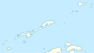
The Goblin Col ( English for goblin saddle ) is a low mountain saddle on Livingston Island in the archipelago of the South Shetland Islands . At the southwest end of the Byers Peninsula , it is 600 m south-southwest of Devils Point at the western end of the north side of the Lucifer Crags .
The UK Antarctic Place-Names Committee named it in 1993 based on the designation of the neighboring Devils Point.
Web links
- Goblin Col in the Composite Gazetteer of Antarctica (English)
