Hackstruck
Coordinates: 53 ° 56 ′ 40 ″ N , 9 ° 30 ′ 3 ″ E
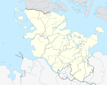
The Hackstruck is an 18 hectare forest in Itzehoe in the Steinburg district in Schleswig-Holstein .
description
The forest area is located between the Itzehoe Clinic and the Edendorfer Tonkuhle . It was designated as an originally 21 hectare landscape protection area on October 22, 1940. In 2015, 3.2 hectares of the area for the expansion of the clinic were excluded from the protection status.
Individual evidence
Web links
Commons : Landschaftsschutzgebiet Waldfläche Hackstruck - Collection of images, videos and audio files

