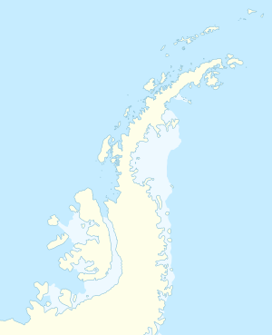
Hidden Lake (James Ross Island)
| Hidden Lake | ||
|---|---|---|
| Geographical location | James Ross Island ( Ross Islands , West Antarctica ) | |
| Data | ||
| Coordinates | 64 ° 1 '59 " S , 58 ° 17' 28" W | |
|
|
||
| length | 2.5 km | |
The Hidden Lake ( English for Hidden Lake ) is a 2.5 km long lake on the West Antarctic James Ross Island . It is halfway between Cape Lagrelius and Cape Obelisk in the western part of the island. It is drained by a small stream that flows 6.5 km south of the lake at Cape Lagrelius into the Weddell Sea .
The Falkland Islands Dependencies Survey discovered it in 1945 and named it after its hidden location due to the elevated surrounding area.
Web links
- Hidden Lake in the Geographic Names Information System of the United States Geological Survey (English)
- Hidden Lake on geographic.org (English)
