Hodoul Island
| Hodoul Island Île Hodoul |
||
|---|---|---|
| Waters | Indian Ocean | |
| Archipelago | Seychelles , Inner Islands, Mahe Port Islands | |
| Geographical location | 4 ° 35 '40 " S , 55 ° 27' 41" E | |
|
|
||
| length | 200 m | |
| width | 50 m | |
| surface | 0.9 ha | |
| Highest elevation | 4 m | |
| Riviere Anglaise district | ||
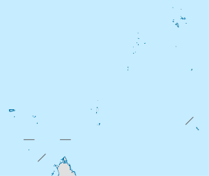
Hodoul Island (also: Île Hodoul ) is an island in the Seychelles in the center of Victoria Port. The island is a natural island of the Mahe Port Islands , while most of the others were artificially made from overburden from dredging in Dubai , since Dubai shipped its overburden to the Seychelles.
geography
The island is located near Anse Etoile just off the east coast of Mahé (Seychelles) and is connected by a bridge to Maldive Village and Perseverance Island in the south.
history
The island was named after the French corsair Jean-François Hodoul . From 1875, Dr. Henry Brooks rented the island as a coal storage facility. Up to 1940, up to 2,000 tons of coal were stored there.
From 1995 to 2005, Hodoul Island served as a storage facility for the explosives of the Mahe Port Reclamation Project .
In 2016 a casino was opened on the western tip of the island.
administration
The island belongs to the La Rivière Anglaise district .
Individual evidence
- ↑ Hodoul at GeoNames , geonames.org 2020-06-10.
- ↑ info on the island
- ^ District map

