Humphreys Peak
| Humphreys Peak | ||
|---|---|---|
|
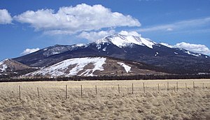
West side of Humphreys Peak, Agassiz Peak in the background |
||
| height | 3851 m | |
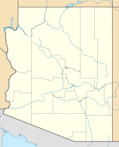
| location | Arizona , USA | |
| Mountains | San Francisco Peaks | |
| Coordinates | 35 ° 20 '47 " N , 111 ° 40' 40" W | |
|
|
||
| Type | extinct stratovolcano | |
Humphreys Peak is the highest peak in the US state of Arizona with a height of 3851 m . It is located in Coconino County , north of Flagstaff . Humphreys Peak is the highest peak of the San Francisco Mountains , a mountain in the volcanic mountain range of the San Francisco Peaks . It is located in the Kachina Peaks Wilderness , a wilderness area , the strictest class of wildlife sanctuary in the United States. The summit can be reached on an approximately 8 km long hiking trail. Due to nature conservation, there are trails above 11,400 ft (3475 m) and hiking groups are limited to twelve people.
See also
Web links
Commons : Humphrey's Peak - collection of images, videos and audio files

