Illusion Hills
| Illusion Hills | ||
|---|---|---|
| location | Victoria Land , East Antarctica | |
| part of | Transantarctic Mountains | |
|
|
||
| Coordinates | 73 ° 29 ′ S , 162 ° 20 ′ E | |
|
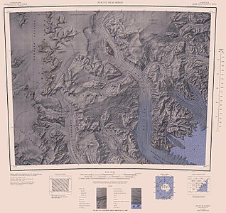
Mount Murchison map sheet from 1967; Illusion Hills near the center of the western edge of the map |
||
The illusion Hills (English for imagination hills ) are a small and reminiscent of a road range of hills in the East Antarctic Victoria Land . At the head of the Rennick Glacier, they loom between the Lichen Hills and the Vantage Hills .
The northern group of the New Zealand Geological Survey Antarctic Expedition (1962–1963) mapped and named them. The fact that the hills are further away than assumed by the northern group gave it its name.
Web links
- Illusion Hills in the Geographic Names Information System of the United States Geological Survey (English)
- Illusion Hills on geographic.org (English)

