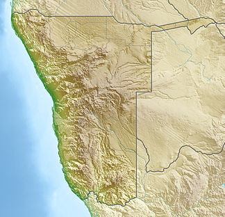
Inachabkuppe
| Inachabkuppe | ||
|---|---|---|
|
The Inachabkuppe in southern Namibia looking |
||
| Highest peak | 936 m | |
| location |
ǁKaras , Namibia |
|
|
|
||
| Coordinates | 27 ° 2 ′ S , 17 ° 24 ′ E | |
| surface | 1 km² | |
The Inachabkuppe , also Inachab Kop or Drielingskop , is a free-standing massif in the ǁKaras region in southern Namibia . It has an area of about one square kilometer and is 936 m high. The massif with its three peaks protrudes about 100 meters above the surrounding plateau. On the middle summit there is a clearly visible radar reflector , which was used for land surveying in earlier times .
On its eastern edge, the district road D463 runs from Simplon towards Fish River Lodge. The Fish River Canyon is located 64 km south of the Inachabkuppe. The Gurieb flows into the Konkiep 11 km west of the mountain .
Web links
Commons : Inachabkuppe - collection of pictures, videos and audio files
Individual evidence
- ↑ Names at geonames.org, accessed on November 16, 2018
- ↑ Inachabkuppe. Mapcarta. Retrieved November 16, 2018.
- ^ Radar triangulation

