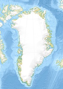
Kangaarsuk (island)
| Kangaarsuk | ||
|---|---|---|
| Waters | Tasiusaq Bay , Baffin Bay , Atlantic Ocean | |
| Archipelago | Upernavik archipelago | |
| Geographical location | 73 ° 15 ′ 45 " N , 56 ° 6 ′ 30" W | |
|
|
||
| length | 2.1 km | |
| width | 4.6 km | |
| surface | 5.6 km² | |
| Residents | uninhabited | |
Kangaarsuk (after the old spelling Kangârssuk , German protruding peninsula ) is an uninhabited island in the district of Upernavik in the Avannaata Kommunia , Greenland . It is located south of Innaarsuit .
The island belongs to the Upernavik archipelago .
geography
Kangaarsuk is located on the outer edge of Tasiusaq Bay in the central part of the Upernavik Archipelago . The bay's waterways divide the island from Illunnguit to the northwest and Tasiusaq to the north. The highest point is unnamed and is 161 meters high. The mountain is in the central part.
Individual evidence
- ^ Upernavik , Saga Map, Tage Schjøtt, 1992
