Kharchakund
| Kharchakund | ||
|---|---|---|
|
View from Tapovan to the Kharchakund |
||
| height | 6612 m | |
| location | Uttarakhand ( India ) | |
| Mountains | Gangotri Group ( Garhwal Himalaya ) | |
| Dominance | 5.9 km → Kedarnath Dome | |
| Notch height | 792 m | |
| Coordinates | 30 ° 46 '49 " N , 79 ° 7' 44" E | |
|
|
||
| First ascent | May 29, 1980 by Toshiharu Hashimoto and Yoshitaka Tanimura | |
The Kharchakund (other spelling: Karchakund ) is a 6612 m (according to other sources 6632 m) high mountain in the Himalayas in Uttarakhand ( India ).
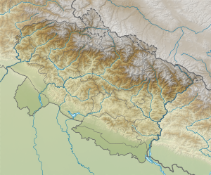
The mountain is located in the Gangotri Group in the western Garhwal Himalayas . The Gangotrigletscher runs along its northern flank in a westerly direction. 1.19 km to the south-southwest is the 6331 m high secondary summit Sumeru Parbat . Kedarnath (6940 m) and Kedarnath Dome (6831 m) are located 6 km west-northwest of the Kharchakund.
The Kharchakund was first climbed on May 29, 1980 by Toshiharu Hashimoto and Yoshitaka Tanimura, members of a Japanese mountaineering group. They reached the summit from the Ghanohim Glacier via the west ridge.

