Kuzurub
| Kuzurub | ||
| Куцуруб | ||

|
|
|
| Basic data | ||
|---|---|---|
| Oblast : | Mykolaiv Oblast | |
| Rajon : | Ochakiv district | |
| Height : | 0 m | |
| Area : | 3.5 km² | |
| Residents : | 2,136 (2004) | |
| Population density : | 610 inhabitants per km² | |
| Postcodes : | 57550 | |
| Area code : | +380 5154 | |
| Geographic location : | 46 ° 39 ′ N , 31 ° 37 ′ E | |
| KOATUU : | 4825182201 | |
| Administrative structure : | 1 village | |
| Address: | вул. Очаківська 120 57 550 с. Куцуруб |
|
| Statistical information | ||
|
|
||
Kuzurub ( Ukrainian and Russian Куцуруб ) is a village in the south of the Ukrainian Oblast Mykolaiv with about 2000 inhabitants (2004).
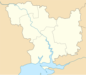
The village was founded in 1756 and forms its own district council in Ochakiv Rajon . Kuzurub is located northeast of the city of Ochakiv at the entrance of the Dnieper Bug Limans , the confluence of the Southern Bug and the Dnieper , to the Black Sea . The oblast capital, Mykolaiv, is located about 60 km northeast of Parutyne. The T-15-07 territorial road runs through the village . To the east, Kuzurub borders the village of Ivanivka .
Individual evidence
- ↑ Kuzurub on the official website of the Verkhovna Rada , last accessed on April 19, 2015

