Killala Bay
Coordinates: 54 ° 15 ′ 0 ″ N , 9 ° 8 ′ 0 ″ W.
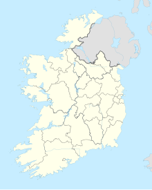
The Killala Bay ( Irish : Cuan Chill Ala ) is a funnel-shaped bay in the northwest of Ireland .
Killala Bay stretches between the Irish counties of Sligo on its eastern and Mayo on its western side and is the mouth of the River Moy in the Atlantic Ocean . On the western coast of the bay in Mayo is the town of Killala , and at the top of the deep funnel is the town of Ballina . Due to its proximity to the deep waters of the continental shelf , Killala Bay is considered an excellent fishing ground.
Individual evidence
- ↑ Map of Ireland (can be enlarged greatly) ( Memento of the original from February 21, 2015 in the Internet Archive ) Info: The archive link has been inserted automatically and has not yet been checked. Please check the original and archive link according to the instructions and then remove this notice.
