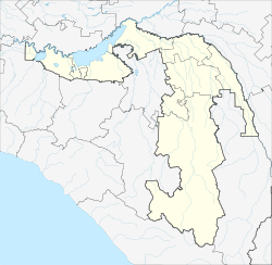
Krasny Chleborob
| Village
Krasny Chleborob
Красный Хлебороб
|
||||||||||||||||||
|
||||||||||||||||||
|
||||||||||||||||||
Krasny Chleborob ( Russian Красный Хлебороб ) is a village (chutor) in southern Russia . It belongs to the Adygeja and has 51 inhabitants (as of 2019). There are 2 streets in the village.
geography
The village in the north of the Giaginsky Rajon, 10 km southeast of the village of Novy, 12 km east of the village of Giaginskaya and 42 km northeast of the town of Maikop . Progress , Obraszowoje , Wolno-Wessyoly , Dondukowskaja , Sadowy are the nearest settlements.
Individual evidence
- ↑ Численность постоянного населения по МО и населенным пунктам Республики Адыгея по состоянию воад 1. 2019
- ↑ Карта хутора Красный Хлебороб в Республике Адыгее

