Kuh-e Sahand
| Kuh-e Sahand | ||
|---|---|---|
| height | 3710 m | |
| location | Iran | |
| Coordinates | 37 ° 43 '51 " N , 46 ° 30' 0" E | |
|
|
||
| Type | Stratovolcano | |
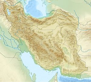
The Kuh-e Sahand ( Persian سهند) is a 3710 m high, inactive stratovolcano . It is located 60 km east of Lake Urmia and 40 km south-southeast of Tabriz in Iran . It is one of the highest mountains in the Āzarbāydschān region . The highest peak of the massif is the Jam Daqi , around 17 mountain peaks have a height of over 3000 m . In winter the massif is snow-covered, there is a winter sports station.
The meltwater feeds the groundwater systems at the foot of the massif. In addition to the historical qanats in the tuff deposits , pumping stations were installed. B. supply the Tabriz region with water. The annual rainfall is about 600 mm.
When the last eruption took place is not known, but the volcano has already been severely eroded. Some of the lava fields have been dated to approximately 1 million years using the potassium-argon method . Other researchers suspect that it was active until the Holocene , so it can be viewed as a dormant volcano. The mountain is known for the biodiversity of flora and fauna .
There are some caves, but they are dangerous to enter as most of them contain toxic gases.
The culturally and historically interesting village of Kandovan is located in the northern catchment area of the mountain . A special cheese called Lighvaan is produced in the region.
The Sahand University of Technology is 20 km south of Tabriz .
Sahand Airport ( 37 ° 20 ′ 55 ″ N , 46 ° 7 ′ 35 ″ E ), the airport of Maragha , is located in the southern foothills of the mountains. It has the IATA airport code ACP .
After the mountain one by the Americans in the April 18, 1988, Operation Praying Mantis sunken Iranian frigate of Saam class named. In December 2018, a new destroyer for the Iranian Navy named Sahand was named after the mountain.
See also
Web links
- Sahand in the Global Volcanism Program of the Smithsonian Institution (English)
Individual evidence
- ^ The Evaluation of the Present Conditions and the Possibilities for Developing Water Resources of Azarbayjan Region, Program Organization, 1972
- ↑ The book of Iran: a survey of the geography of Iran - Kiyānoosh Kiyāni Haftlang, Kiyānūsh Kiyānī Haft Lang, Āzitā Rajabi. ISBN 964-94491-3-2

