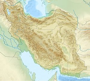
Coolie Kesch
| Coolie Kesch | ||
|---|---|---|
| height | 2521 m | |
| location | Fars , Iran | |
| Mountains | Zāgros Mountains | |
| Coordinates | 30 ° 46 '4 " N , 53 ° 18' 19" E | |
|
|
||
Gardan-i- Quli Kusch or Gardaneh-ye Kuli Kesch ( Persian گردنه کولى کش; گَردَنِۀ كُولی كُش; گَردَنِۀ كُولی كوش), is a ridge of the Zagros Mountains in the province of Fars .
Coordinates
The coordinate of the bottleneck, 2498 m high (Tangi e Kuli Kesch), which is located in the middle between the two Gardaneh (mountain slopes), is:
The coordinate of the 2305 m high mountain slope above Kuli Kusch is:
Surname
Persian pen کولىor Kutschi Persian کوچىmeans nomads . The nomads pitch their tents on the slopes of these mountains, the slopes of which their animals graze. That is why it is called "Bergshang" ('the mountain slope that attracts the nomads').
literature
- Ali Akbar Dehkhoda , Mohammad Moin, Jafar Shahidi et al .: Loghat Nāmeh Dehkhodā . Dāneshgāh Tehrān (University of Tehran), 1991.
- Coolie, Kush . In: Dictionary of Dehchoda . 1879-1959.
Web links
Individual evidence
- ↑ Dictionary entry ( memento of the original from February 20, 2014 in the Internet Archive ) Info: The archive link was inserted automatically and has not yet been checked. Please check the original and archive link according to the instructions and then remove this notice.
- ↑ Map ( Memento of the original dated February 3, 2014 in the Internet Archive ) Info: The archive link has been inserted automatically and has not yet been checked. Please check the original and archive link according to the instructions and then remove this notice.
