Kusŏng
| Kusŏng | |||
|---|---|---|---|
| Korean alphabet : | 구성 시 | ||
| Chinese characters : | 龜 城市 | ||
| Revised Romanization : | Kusŏng si | ||
| McCune-Reischauer : | Guseong-si | ||
| Basic data | |||
| Province : | P'yŏngan-pukto | ||
| Coordinates : | 39 ° 58 ′ N , 125 ° 10 ′ E | ||
| Residents: | 196,515 (as of 2008) | ||
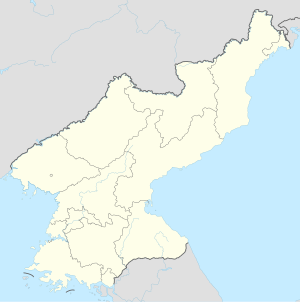
| map | |||
|
|||
Kusŏng-shi ( 구성 시 ; 龜 城市 ) is a city in P'yŏngan-pukto Province in North Korea . It has 196,515 inhabitants (as of 2008), 93,212 of whom lived in urban regions. The year-round average temperature is 8.2 ° C, with a January average of -9.6 ° C and an August average of 23.3 ° C. In a typical year there will be 1,300 millimeters of rain. 22% of the city's area is cultivated and 64% is forested.
Educational institutions in Kusong include the Kusong Mechanical College and the Kusong Industrial College. One of the historical relics is the Kuju Castle from the Goryeo dynasty .
Kusong is also home to much of the North Korean military industry, with ammunition factories and uranium mines in the area. The airfield Panghyon also located in Kusong where missile tests were carried out, including the first successful test launch of an intercontinental ballistic missile in North Korea.
Individual evidence
- ↑ 2008 Census of Population of DPR Korea (PDF file; 1.4 MB), Central Bureau of Statistics , p. 20 Kusong City (English).
- ^ Kusong - North Korean Special Weapons Facilities. Retrieved March 14, 2020 .
- ↑ Choe Sang-Hun: US Confirms North Korea Fired Intercontinental Ballistic Missile . In: The New York Times . July 4, 2017, ISSN 0362-4331 ( nytimes.com [accessed March 14, 2020]).

