Lösterbachtal Bridge
Coordinates: 49 ° 37 ′ 19 ″ N , 6 ° 56 ′ 13 ″ E
|
|
||
|---|---|---|
| The railway bridge | ||
| Convicted | Federal motorway 1 | |
| Crossing of | Solver | |
| overall length | 644 m | |
| height | 100 m | |
| start of building | 1973 | |
| completion | 1974 | |
| location | ||
|
|
||
The Lösterbachtalbrücke is a motorway bridge on the A1 over the Löster near Nonnweiler .
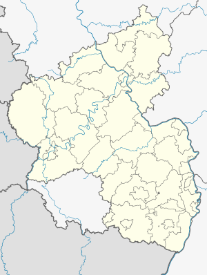
The middle of the Lösterbachtalbrücke forms the border between Saarland and Rhineland-Palatinate . The girder bridge was built in 1973/74. The entire bridge structure is 644 meters long. The highest point is 100 meters above the Lösterbachtal, this value being formed by the highest pillar.
The route of the Hochwaldbahn between Hermeskeil and Türkismühle runs parallel to the Löster, which runs under the bridge . Immediately under the bridge there is therefore a river crossing by the railway, which is also called Lösterbachtalbrücke.

