Labassee
| Labassee | ||
|---|---|---|

|
||
| False color satellite image | ||
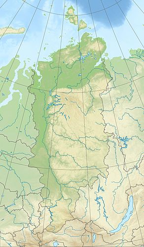
| Geographical location | Krasnoyarsk Region ( Russia ) | |
| Tributaries | Yom , Njolda | |
| Drain | Kegerdi → Boganida | |
| Islands | Symyttyr-Ary, Kusagan-Ary | |
| Data | ||
| Coordinates | 72 ° 17 ′ N , 99 ° 37 ′ E | |
|
|
||
| Altitude above sea level | 47 m | |
| surface | 470 km² | |
| Catchment area | 1259 km² | |
The Labassee ( Russian Лабаз ) is a lake in the north of the Russian Krasnoyarsk region .
The Labassee is located south of the Taimyr Peninsula in the North Siberian lowlands . It is located at a height of 47 m , is 470 km² in size and, viewed from space , has an approximately oval shape. Its tributaries include the Jom and Njolda . On its southwestern bank the lake is drained by the Boganida source river Kegerdi , so that the lake lies in the catchment area of the Chatanga . To the east of the Labasse is the smaller Chargysee .
Web links
Commons : Labassee - collection of images, videos and audio files
Individual evidence
- ↑ a b Labassee in the State Water Directory of the Russian Federation (Russian)
- ↑ Article Labassee in the Great Soviet Encyclopedia (BSE) , 3rd edition 1969–1978 (Russian)
