Lac Châtelain
| Lac Châtelain | ||
|---|---|---|
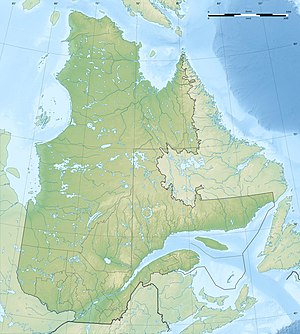
| Geographical location | Nunavik , North du Quebec (Canada) | |
| Drain | to Lac Fairwind | |
| Data | ||
| Coordinates | 60 ° 23 ′ N , 74 ° 11 ′ W | |
|
|
||
| Altitude above sea level | 210 m | |
| surface | 113 km² | |
| length | 39 km | |
The Lac Chatelain is a lake on the Ungava Peninsula in the north of the Canadian province of Quebec .
Lac Châtelain is 180 km east of Hudson Bay and 15 km southwest of Lac Klotz . The lake is located in the area of the Canadian Shield at an altitude of about 210 m . It has a longitudinal extension in west-east direction of 39 km. The area of the lake, which is strongly indented by peninsulas, is 113 km². It is drained to the neighboring lake Lac Fairwind and further to Lac Bécard .
The lake was named in 1946 after Louis-Jean-François Châtelain (1742–?), An employee of the North West Company .
