Lac Klotz
| Lac Klotz | ||
|---|---|---|
| Geographical location | Nunavik , North du Québec in Québec (Canada) | |
| Tributaries |
Rivière Arpalirtuq , outflow of Lac Lesdiguières |
|
| Drain | Rivière Lepellé | |
| Data | ||
| Coordinates | 60 ° 32 ′ N , 74 ° 0 ′ W | |
|
|
||
| Altitude above sea level | 241 m | |
| surface | 246 km² | |
| length | 58 km | |
| width | 12 km | |
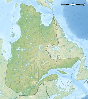
The Lac Klotz is a lake on the Ungava Peninsula in the Canadian province of Quebec .
The lake is located 140 km southwest of the settlement of Kangiqsujuaq . The elongated lake with west-east orientation has a strongly structured shoreline. It has a length of 58 km and a width of 12 km. The lake area is 246 km². The lake is in the area of the Canadian Shield at an altitude of about 241 m .
The Rivière Arpalirtuq , which forms the outflow of Lac Nantais , flows into Lac Klotz from the north. The water of the lake Lac Lesdiguières to the west flows over the smaller lakes Lac Headwind and Lac Calme to Lac Klotz. The Lac Klotz itself is drained from the Rivière Lepellé , a tributary of the Rivière Arnaud , in an easterly direction.
The lake was named after Otto Julius Klotz (1852–1923), an important surveyor at the end of the 19th century.
