Lac Chambeaux
| Lac Chambeaux | ||
|---|---|---|
| Geographical location | Côte-Nord in Québec (Canada) | |
| Tributaries | Rivière Caniapiscau | |
| Drain | Rivière Caniapiscau | |
| Data | ||
| Coordinates | 53 ° 42 '11 " N , 68 ° 35' 53" W | |
|
|
||
| Altitude above sea level | 537 m | |
| surface | 65 km² | |
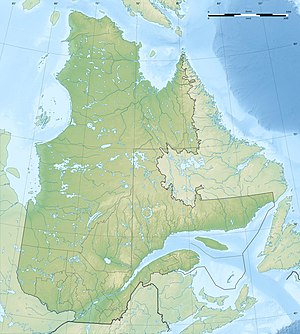
The Lac Cham Beaux is a lake in the Administrative Region Côte-Nord of the Canadian province of Quebec .
Lac Chambeaux is located in central Labrador, 20 km northwest of Lac Boissier and northeast of Lac Bermen . The lake is located in the area of the Canadian Shield at 537 m . The Lac Chambeaux is interspersed with numerous islands. It lies on the upper reaches of the Rivière Caniapiscau , which flows through it in a northerly direction to the Caniapiscau reservoir . The area of Lac Chambeaux is 65 km².
The lake was named after Jean Garnier , Sieur de Chambeaux. This accompanied Jacques Cartier on his second trip to Canada in the years 1535-1536. Another lake of the same name , named after him, is located in the catchment area of the Rivière Natashquan Est .
