Lac Dumoine
| Lac Dumoine | ||
|---|---|---|
| Geographical location | Abitibi-Témiscamingue in Québec (Canada) | |
| Tributaries |
Rivière Dumoine , Rivière aux Écorces |
|
| Drain |
Rivière Dumoine , Rivière Kipawa |
|
| Islands | Île Quabie | |
| Location close to the shore | Rapides-des-Joachims | |
| Data | ||
| Coordinates | 46 ° 54 ′ N , 77 ° 54 ′ W | |
|
|
||
| Altitude above sea level | 311 m | |
| surface | 76 km² | |
| length | 34 km | |
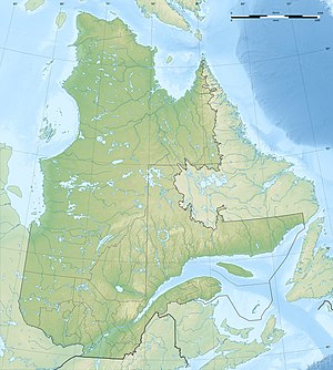
The Lac Dumoine is a lake in the administrative region Abitibi-Témiscamingue in the southwest of the Canadian province of Quebec .
The lake has three elongated narrow arms to the north. The upper course of the Rivière Dumoine flows into the eastern arm and the Rivière aux Écorces into the middle arm . The Rivière Kipawa drains the lake at the end of the western arm. The Rivière Dumoine leaves the lake at the southern end of the lake. Thus the lake has two natural drains.
Lac Dumoine is located about 80 km north of the municipality of Rapides-des-Joachims in the area of the Canadian Shield . The heavily indented lake has an area of 76 km². It has a north-south extension of 34 km.
The lake is considered to be a good fishing water for glass ey perch .
The province's Ministry of Environment is planning a protected area ( Réserve aquatique ) on the Rivière Dumoine, which will include Lac Dumoine and large parts of its catchment area.
