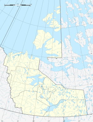
Lac des Bois
| Lac des Bois | ||
|---|---|---|
| Geographical location | Northwest Territories ( Canada ) | |
| Drain | to the Anderson River | |
| Data | ||
| Coordinates | 66 ° 50 ′ N , 125 ° 9 ′ W | |
|
|
||
| Altitude above sea level | 297 m | |
| surface | 469 km² | |
| length | 45 km | |
| width | 17 km | |
Lac des Bois is a lake in the Northwest Territories of Canada .
The lake has a water surface of 469 km² and lies at an altitude of 297 m . The lake is 40 km northwest of the Great Bear Lake . The outflow leads to the east running Anderson River , which flows to the Beaufort Sea .
Individual evidence
- ↑ a b Natural Resources Canada - The Atlas of Canada - Lakes ( Memento from January 14, 2013 in the Internet Archive )

