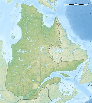
Lac des Commissaires
| Lac des Commissaires | ||
|---|---|---|
| Geographical location | Saguenay – Lac-Saint-Jean in Québec (Canada) | |
| Tributaries | Rivière des Commissaires | |
| Drain | Rivière Ouiatchouan | |
| Data | ||
| Coordinates | 48 ° 11 ′ N , 72 ° 16 ′ W | |
|
|
||
| Altitude above sea level | 312 m | |
| surface | 29 km² | |
| length | 29 km | |
| width | 2 km | |
| Maximum depth | 46 m | |
| Catchment area | 562 km² | |
|
particularities |
flow regulated |
|
The Lac des Commissaires is a lake in the Saguenay – Lac-Saint-Jean administrative region of the Canadian province of Québec .
The Lac des Commissaires is 25 km south of Lac Saint-Jean . The 29 km² long lake is located at an altitude of 312 m and has a length in north-south direction of 29 km. The maximum width is 2 km. The maximum water depth is 46 m. The Rivière des Commissaires flows into its southern end . On its eastern bank, the Rivière Ouiatchouan drains the Lac des Commissaires to Lac Saint-Jean. The outflow of the lake is regulated at the Barrage des Commissaires dam .
The route 155 runs along the south eastern shore.
Individual evidence
- ↑ a b c d Commission de toponymie du Québec: Lac des Commissaires
- ↑ Water Survey of Canada: Station 02RG008 ( Memento of the original dated December 24, 2010) Info: The archive link was automatically inserted and not yet checked. Please check the original and archive link according to the instructions and then remove this notice.
- ^ Commission de toponymie du Québec: Barrage des Commissaires
