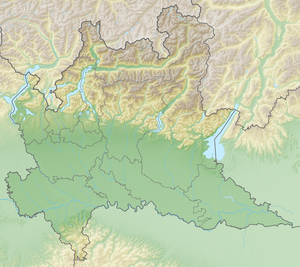
Lake Endine
| Lake Endine | ||
|---|---|---|

|
||
| Lake Endine | ||
| Geographical location | Lombardy ( Italy ) | |
| Tributaries | Cherio | |
| Drain | Cherio → Oglio | |
| Places on the shore | Endine Gaiano , Monasterolo del Castello , Ranzanico , Spinone al Lago | |
| Data | ||
| Coordinates | 45 ° 46 '48 " N , 9 ° 56' 25" E | |
|
|
||
| Altitude above sea level | 337 m slm | |
| surface | 2.1 km² | |
| Maximum depth | 9.4 m | |
The Lago di Endine is a lake in the Province of Bergamo in the Italian region of Lombardy . It is located in the Val Cavallina .
The lake has an extension of 2.1 km², the circumference is 14 km. The length of the lake is about 6 km, the greatest depth 9.4 m. The lake has no island.
The communities on the shore are Endine Gaiano , Monasterolo del Castello , Ranzanico and Spinone al Lago .
The lake is not very well developed for tourists. For reasons of nature conservation, the lake cannot be used with motor boats. Fishing is allowed, as is other water sports such as canoeing, rowing or sailing.
The Lago di Endine can be reached via Strada statale 42 from Bergamo . The distance from Bergamo is about 30 km.
Web links
Commons : Lago d'Endine - collection of images, videos and audio files

