Obidos lagoon
| Obidos lagoon | ||
|---|---|---|

|
||
| View from the south of the Óbidos lagoon | ||
| Geographical location | Districts Óbidos and Caldas da Rainha ( Portugal ) | |
| Tributaries | Rio Borraca , Rio da Cal , Rio Arnóia , Rio Real | |
| Drain | Atlantic Ocean | |
| Places on the shore | Foz do Arelho | |
| Data | ||
| Coordinates | 39 ° 25 ′ 0 ″ N , 9 ° 13 ′ 0 ″ W | |
|
|
||
| surface | 7 km² | |
| width | 1.8 km | |
| Maximum depth | 5 m | |
| Middle deep | 2 m | |
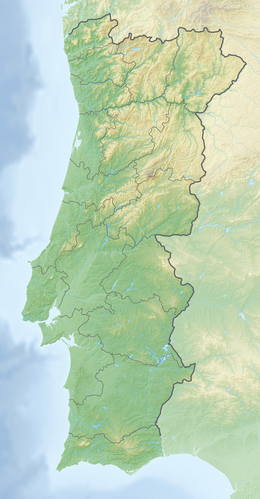
The Óbidos lagoon ( Portuguese : Lagoa de Óbidos) is a lagoon on the west coast of Portugal . At its widest point, it is 1.8 km wide. It extends from the Atlantic Ocean below the town of Foz do Arelho for about 5 km in the direction of the town of Óbidos , from which it takes its name, and to which it reached in the Middle Ages.
After the ecological balance was endangered by buildings and algae multiplication, the municipality took various measures to protect the lagoon.
A variety of water and migratory birds can be observed here on hikes, including flamingos . A wide variety of water sports are practiced here, especially windsurfing.
Individual evidence
- ↑ L. Hohenberger, J. Strawmaier: Portugal. 2nd edition, DuMont Reiseverlag, Ostfildern 2009, page 184
- ↑ www.jf-fozdoarelho.pt ( Memento of the original from January 12, 2013 in the Internet Archive ) Info: The archive link was inserted automatically and has not yet been checked. Please check the original and archive link according to the instructions and then remove this notice. , accessed November 6, 2012
- ↑ www.avesdeportugal.info , accessed on November 6, 2012
