Lake Curly
| Lake Curly | ||
|---|---|---|
| Geographical location | Tasmania ( Australia ) | |
| Tributaries | Gell River | |
| Drain | Gell River | |
| Data | ||
| Coordinates | 42 ° 31 '27 " S , 146 ° 10' 57" E | |
|
|
||
| Altitude above sea level | 718 m | |
| surface | 29 hectares | |
| length | 1.2 km | |
| width | 300 m | |
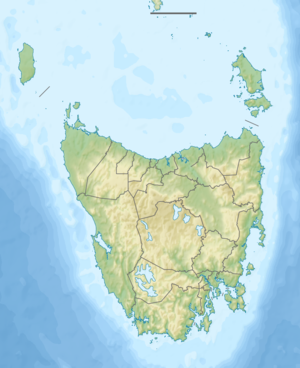
The Lake Curly is a lake in the southwest of the Australian state of Tasmania .
The lake is located on the upper reaches of the Gell River , below Mount Gell in the Cheyne Range . The area is located in the southeast corner of Cradle Mountain Lake St. Clair National Park , approximately 18 km west of Derwent Bridge .
Web links and sources
- Lake Curly - TAS . ExplorOz.com
- Map of Lake Curly, TAS . Bonzle.com
- Steve Parish: Australian Touring Atlas . Steve Parish Publishing, Archerfield QLD 2007. ISBN 978-1-74193-232-4 . P. 58
