Derwent Bridge
| Derwent Bridge | |||||||
|---|---|---|---|---|---|---|---|
|
|||||||
|
|||||||
|
|||||||
|
|
|||||||
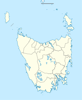
Derwent Bridge is a small town in the west of the Australian state of Tasmania . It is located on the southeast corner of the Cradle Mountain Lake St. Clair National Park and on the southern tip of the adjacent Walls of Jerusalem National Park . The city on the Derwent River forms the junction of Lake St. Clair (in the north) and Lake King William in the south. The Butlers Gorge Power Station is also located there .
The Lyell Highway runs through Derwent Bridge, heading west for 114 km the last settlement before the Linda Valley in the West Coast Range . There used to be a number of individual houses on the Lyell Highway on this stretch of road between Franklin Gordon Wild Rivers National Park and Cradle Mountain Lake St. Clair National Park, but these were demolished when the national parks were established.
Today you can find not only the bridge of the same name in Derwent Bridge, but also accommodation and a pub on the street.
Derwent Bridge served as the main filming location for the television drama The Last Confession of Alexander Pearce , a film about the cannibal Alexander Pearce , a British convict from Tasmania's early European times.
Individual evidence
- ^ Map of Derwent Bridge, TAS . Bonzle.com
- ↑ Australian Bureau of Statistics : Derwent Bridge ( English ) In: 2016 Census QuickStats . June 27, 2017. Retrieved April 2, 2020.
