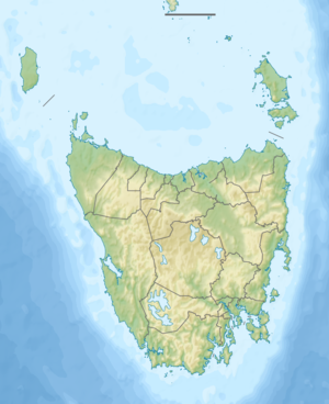
Lake St. Clair (Tasmania)
| Lake St. Clair | ||
|---|---|---|

|
||
| Geographical location | Tasmania ( Australia ) | |
| Tributaries | Cuvier River , Narcissus River , Hamilton Creek | |
| Drain | Derwent River | |
| Places on the shore | Derwent Bridge | |
| Data | ||
| Coordinates | 42 ° 4 ′ S , 146 ° 10 ′ E | |
|
|
||
| Altitude above sea level | 738 m | |
| surface | 29 km² | |
| length | 12 km | |
| width | 2.9 km | |
| Maximum depth | 167 m | |
|
particularities |
Australia's deepest lake |
|
The Lake St. Clair is a lake in the west of the Australian state of Tasmania .
It is located at the southern end of the Cradle Mountain Lake St. Clair National Park and is also the last stage of the famous Overland Track . With a depth of 167 m, it is Australia's deepest lake. In the lake, the Derwent River arises from the Cuvier River and the Narcissus River .
It was called Leeawuleena ("sleeping water") by the Tasmanians .
Sources and web links
- Parks & Wildlife Services, Tasmania
- Lake St. Clair - TAS . ExplorOz.com
- Map of Lake St. Clair, TAS . Bonzle.com
- Steve Parish: Australian Touring Atlas . Steve Parish Publishing, Archerfield QLD 2007. ISBN 978-1-74193-232-4 . P. 58
