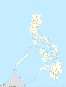
Leyte-Sab-a-Basin
Coordinates: 11 ° 6 ' N , 124 ° 58' E
The Leyte-Sab-a-Basin, also known as the Leyte Valley , is located in the northeast of the island of Leyte in the Philippines . It extends over an area of approx. 900 km² from the municipality of Tolosa to the northwest to the Bay of Carigara.
An extensive river marshland , which is formed by a large number of small streams , rivers and lakes, extends in the basin . The rivers have their sources in the mountains surrounding the island of Leyte and drain the area to the Gulf of Leyte . Many of the lakes and ponds are permanently filled with water, but their level depends on the rainfall in the region. The area is also used to grow rice because of its natural abundance of water . The agriculturally used areas cover about half of the basin.
During the Battle of Leyte in 1944, the Leyte-Sab-a-Basin was highly contested and one of the main targets of the Americans during the operation.
The climate in the Leyte-Sab-a-Basin is tropical and warm and humid, precipitation falls all year round, there is no pronounced dry period .

