Losertha Hut
| Losertha Hut (Polish: Losertówka) ( removed ) |
||
|---|---|---|
|
1901 ruin |
||
| location | Babia Góra peak ; Poland | |
| Mountain range | Saybuscher Beskids | |
| Geographical location: | 49 ° 35 '16.2 " N , 19 ° 30' 59.5" E | |
| Altitude | 1724 m npm | |
|
|
||
| Built | 1852 | |
| Construction type | Hut; stone | |
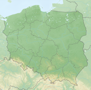
The Losertha Hut ( pl. Losertówka ) was located at an altitude of 1724 meters in Poland in the Saybuscher Beskids on the highest peak of Babia Góra , the Diablak . The area belongs to the municipality of Zawoja .
history
The first hut was built in 1806 when Joseph von Habsburg climbed the summit. In 1852 a new hut followed, built by Joseph Losertha for Philip Louis de Saint Genois. The roof of the hut was badly damaged in the storms of 1854 and 1855. The hut remained in ruins until the 1920s. After that it fell into disrepair. At the moment only the foundations are visible. In 1905, the Beskydy Association built the Schlesinger House on Babia Góra below the summit at 1616 meters above sea level , which burned down in 1949 and was finally demolished in 1979. The current hut on the mountain, the Markowe Szczawiny hut from 1906, was completely rebuilt in 2007.
literature
- Tomasz Biesik: Schroniska górskie dawniej i dziś. Beskid Żywiecki. Bielsko-Biała: Wyd. “Logos” Agnieszka Korzec-Biesik, 2013, pp. 154–185. ISBN 978-83-925599-4-8 .

