Luirojärvi
| Luirojärvi | ||
|---|---|---|

|
||
| View from Sokosti to Luirojärvi | ||
| Geographical location | Sodankylä municipality in Lapland ( Finland ) | |
| Drain | Luiro → Kitinen → Kemijoki → Gulf of Bothnia | |
| Data | ||
| Coordinates | 68 ° 13 ′ 0 ″ N , 28 ° 2 ′ 0 ″ E | |
|
|
||
| Altitude above sea level | 282.9 m | |
| surface | 1.44 km² | |
| length | 2 km | |
| width | 1.2 km | |
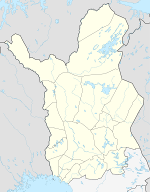
The Luirojärvi [ ˈlui̯rojærvi ] is a lake in Finnish Lapland . It is located in the north of the municipality of Sodankylä in the middle of the Saariselkä wilderness area at the foot of the 718 meter high Sokosti fell and is part of the Urho Kekkonen National Park . The Luirojärvi is around two kilometers long and 1.2 kilometers wide. The 227 kilometer long Luiro river, one of the tributaries of the Kemijoki , rises from the Luirojärvi. On the shore of the lake there are wilderness huts owned by the Finnish Forestry Administration, which can be used by hikers in the Urho Kekkonen National Park.
Individual evidence
- ↑ JÄRVIWIKI - Luirojärvi (65.943.1.001)
