Lyman Lake
| Lyman Lake | |||||||
|---|---|---|---|---|---|---|---|
|
|||||||
|
|
|||||||
| Coordinates | 34 ° 21 ′ 51 ″ N , 109 ° 22 ′ 9 ″ W | ||||||
| Data on the structure | |||||||
| Data on the reservoir | |||||||
| Altitude (at congestion destination ) | 1828 m | ||||||
| Water surface | 5.7 km² | ||||||
| Maximum depth | 17 m (mean depth 6.7 m) | ||||||
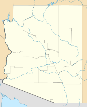
The Lyman Lake is a lake in the east of the US state of Arizona in Apache County . It is located in the 4 km² Lyman Lake State Park . The lake has an area of 5.7 km² and is at an altitude of 1828 m above sea level. NN . It was created in 1915 when the Little Colorado River was dammed . Lyman Lake is surrounded by Mount Baldy and Mount Escudilla , the second and third highest mountains in Arizona. Because of its size, there are no restrictions on the size of the boat. The west bank is reserved for anglers who can catch pikeperch, catfish and perch, among other things. There are also opportunities for swimming and water skiing, and there are numerous hiking trails around the lake.


