Mali i Gjerë
| Mali i Gjerë | ||
|---|---|---|
|
View over the Drinostal to Gjirokastra and the Mali i Gjerë |
||
| Highest peak | Mali i Frashërit ( 1800 m above sea level ) | |
| location | Albania | |
|
|
||
| Coordinates | 40 ° 5 ' N , 20 ° 3' E | |
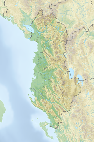
Mali i Gjerë is a mountain range in southern Albania . It rises between the Drinostal in the east and the plain around Finiq . The ridge runs roughly from northwest to southeast. The highest peaks are from north to south: Mali i Pusit (1564 m), Mali i Frashërit (1800 m) and Mali i Nikollaqit (1598 m).
The town of Gjirokastra lies on the eastern slope of the mountain range , and on the other side on the southwestern foothills of Delvina . The 572 meter high Muzina Pass connects Delvina and Saranda with the Drinostal. The short but year-round river Bistrica rises in Mali i Gjerë . Its main tributary is fed by a large karst spring, Syri i Kaltër , which is a popular excursion destination in the region because of its beautiful surroundings.

