Mohave Valley
| Mohave Valley | ||
|---|---|---|
| location | Arizona , California , Nevada | |
| Waters | Colorado River | |
| Geographical location | 34 ° 57 '25 " N , 114 ° 35' 5" W | |
|
|
||
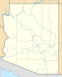
The Mohave Valley is a valley that lies largely on the eastern bank of the Colorado River in northwest Arizona , but also extends into San Bernardino County in California and to the north in the extreme southeast of Clark County in Nevada . The main part of the valley is in southwestern Mohave County , Arizona, and is where the southeast of the Mojave Desert and the northwest of the Sonoran Desert meet.
Part of the valley is part of the Fort Mojave Indian Reservation , and to the west it joins California's Dead Mountains .
Web links
Commons : Mohave Valley - collection of images, videos and audio files

