Mormon Lake
| Mormon Lake | ||
|---|---|---|

|
||
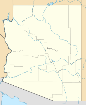
| Geographical location | Coconino County , Arizona , USA | |
| Drain | not above ground | |
| Places on the shore | Mormon Lake | |
| Data | ||
| Coordinates | 34 ° 57 '13 " N , 111 ° 27' 13" W | |
|
|
||
| Altitude above sea level | 2167 m | |
| length | 5.4 km | |
| width | 3.6 km | |
|
particularities |
temporarily dries out |
|
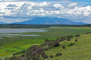
The Mormon Lake is a lake about 35 km southeast of Flagstaff in Coconino County in the State of Arizona in the Mogollon Rim . It is 5.4 km long and 3.6 km wide, making it the largest natural lake in the US state of Arizona. Large herds of elk gather on the banks of the lake.
The nearest town is Mormon Lake .
The lake has no above-ground drain, but Walnut Creek rises very close to the north bank , which among other things feeds Upper Lake Mary , and like this, Mormon Lake is included in the Diablo Watershed Canyon .
Web links
Commons : Mormon Lake - Collection of Pictures, Videos and Audio Files
Individual evidence
- ^ Environmental Protection Agency: Canyon Diablo Watershed
