Morne Watt
| Morne Watt | ||
|---|---|---|
|
The steeply sloping Morne Watt, seen here from the NW, is a lava dome complex surrounded by deposits of pyroclastic flows. The 1224 m high volcano formed south of the Wotten Waven Caldera and is flanked by the Morne Anglais (4 km SW) and the Grand Soufrière Hills 3 km to the east. |
||
| height | 1224 m | |
| location | Dominica | |
| Coordinates | 15 ° 18 ′ 24 " N , 61 ° 18 ′ 18" W | |
|
|
||
| Type | Stratovolcano | |
| Last eruption | 1997 | |
| particularities | third highest mountain in Dominica | |
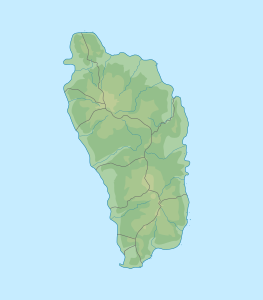
The Morne Watt is a stratovolcano in the southeast of the island state of Dominica . With a height of 1224 m , it is the third highest mountain in the country.
The mountain is located southeast of the Trois Pitons area east of the capital Roseau . On its flank are the Valley of Desolation and the thermal area of Boiling Lake .
The last eruption of the volcano dates back to July 1997.
Web links
- Morne Watt in the Global Volcanism Program of the Smithsonian Institution (English)

