Mount Vision
| Mount Vision | ||
|---|---|---|
|
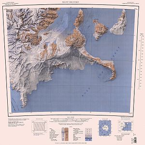
Black Island topographic map (top right) with Mount Vision |
||
| location | Black Island ( Ross Archipelago , Antarctica ) | |
| Coordinates | 78 ° 13 ′ 0 ″ S , 166 ° 15 ′ 0 ″ E | |
|
|
||
Mount Vision is a mountaintop on Black Island in the Ross Archipelago in Antarctica . It rises in the volcanic area 1.5 km northwest of Mount Aurora .
Participants in the 1958 to 1959 campaign as part of the New Zealand Geological Survey Antarctic Expedition named it after the imposing view of the Ross Archipelago and the area around Minna Bluff .
Web links
- Mount Vision in the Geographic Names Information System of the United States Geological Survey (English)
- Mount Vision on geographic.org (English)

